LISEM Classic
LISEM
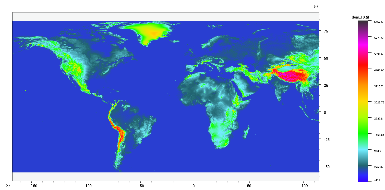
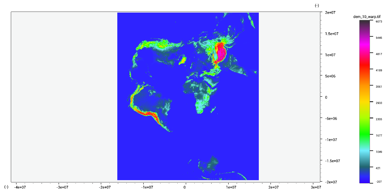
Warping
Warping raster can be done in various ways: You can get and set Coordinate Reference Systems (CRS) for layers using:
test.tif = SetCRS(tes.tif,GetCRS(test2.tif)); //get CRS from other file
test.tif = SetCRS(tes.tif,GeoProjectionFromWGS84UTM(30,true)); //use WGS84 UTM 30 N
test.tif = SetCRS(tes.tif,GeoProjectionFromEPSG(4326)); //use WGS84 (EPSG code 4326)
The SetCRS function does not do any warping to the data. If you wish to re-project the data, use the following code:
warped.tif = RasterProject(dem.tif,GeoProjectionFromWGS84UTM(30,true));
warped.shp = VectorWarp(rivers.shp,GeoProjectionFromWGS84UTM(30,true));
If you have a target raster (existing file with extent, crs and cell sizes), you can directly warp to this.
warped.tif = RasterWarp(target.tif,GeoProjectionFromWGS84UTM(30,true));
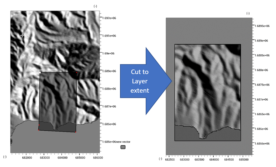
In order to select a subset of a raster dataset, use the RasterCut function.
This function takes either a Region, or a pixel index.
section_custom.tif = RasterCut(dem.tif,Region(0,1.0,0.0,1.0));
section.tif = RasterCut(dem.tif,GetRegion(shape.shp));
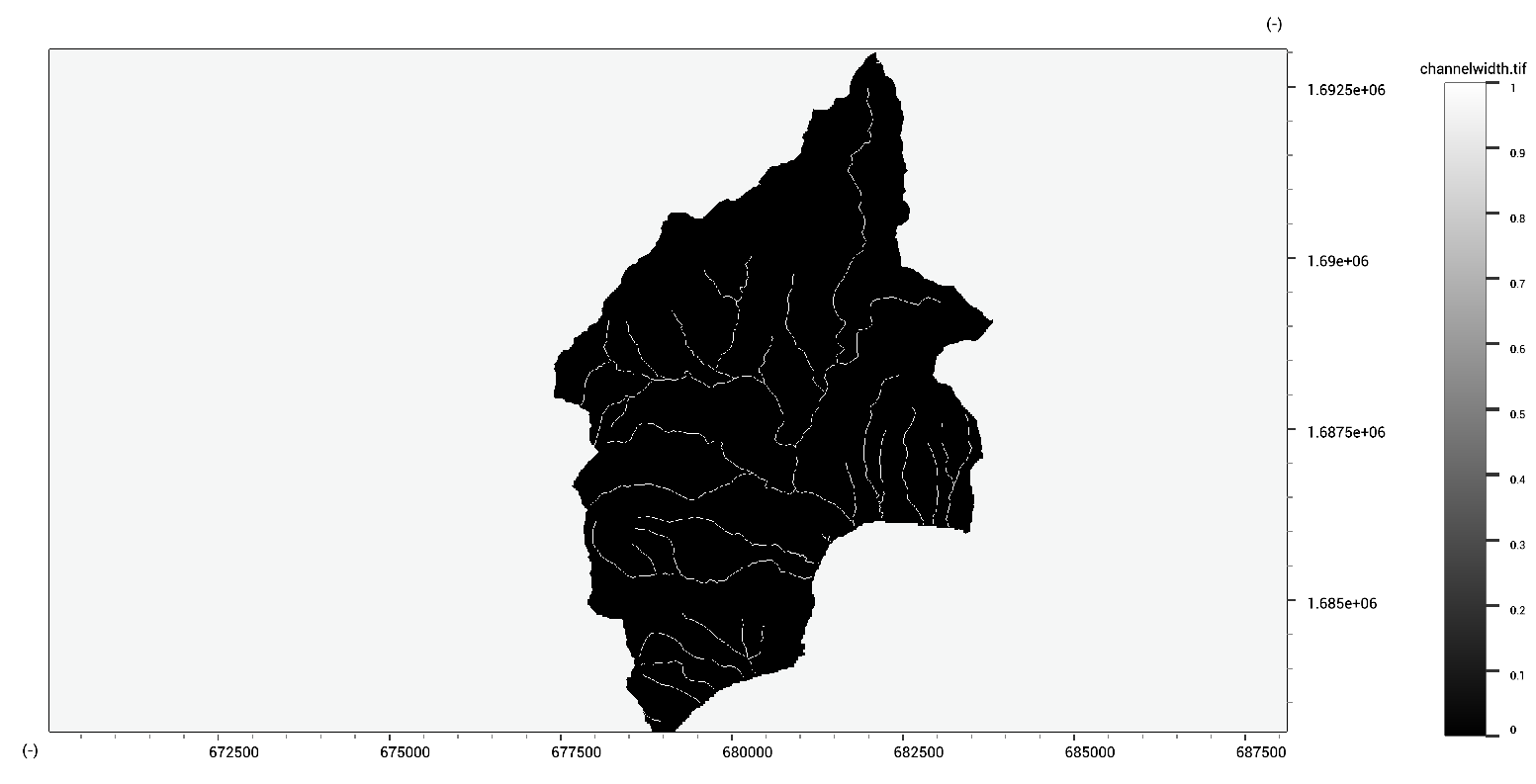
You can convert a raster dataset to a vector dataset using the Vectorize function.
rivers.shp = Vectorize(channelwidth.map,"width");
You can also convert from vector to raster by using the Rasterize function.
Depending on the options, this will rasterize an attribute of the vector dataset, or burn a specified value.
channelwidth.tif = Rasterize(target.map,rivers.shp,"width"); //put attribute value of "width"
channelwidth_burn.tif = Rasterize(target.map,rivers.shp,"",true,1.0); //burn value 1.0