LISEM Classic
LISEM
Web Data
You can download files within the LISEM script engine, convert them to an object or save them as a file, and open them in the map viewer. HTMl request are supported, so any webservice with WCS-service can be called upon. Note that the region specified in the url must conform to the Coordinate Reference system used by the WCS-Service. This can be checked in the url, as the EPSG code is often specified.
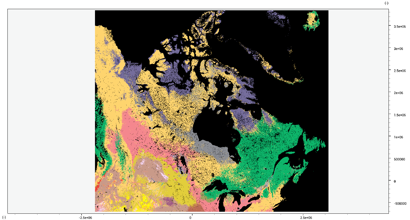
So, to get soil classifications from SOILGRIDS
soilclass.tif = ToMap(Download("http://maps.isric.org/mapserv?map=/map/wrb.map&SERVICE=WCS&VERSION=1.0.0&REQUEST=GetCoverage&coverage=MostProbable&CRS=EPSG:3978&BBOX=-2200000,-712631,3072800,3840000&WIDTH=3199&HEIGHT=2833&FORMAT=GTiff"));
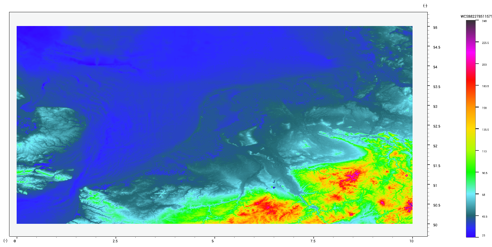
Or, to get elevation data Using this function (repeatedly) leads to the following produced elevation data.
soilclass.tif = ToMap(Download("http://maps.isric.org/mapserv?map=/map/wrb.map&SERVICE=WCS&VERSION=1.0.0&REQUEST=GetCoverage&coverage=MostProbable&CRS=EPSG:3978&BBOX=-2200000,-712631,3072800,3840000&WIDTH=3199&HEIGHT=2833&FORMAT=GTiff"));
HTML with a POST-request are also supported. To obtain OpenStreetMaps data you can use
void main()
{
	DownloadFilePost("http://overpass-api.de/api/interpreter",OSMExtentToXMLPost(Region(0.0,1.0,0.0,1.0),"osm.osm"));
	WaitForAllDownloads();
}